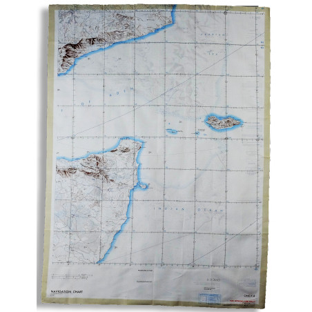
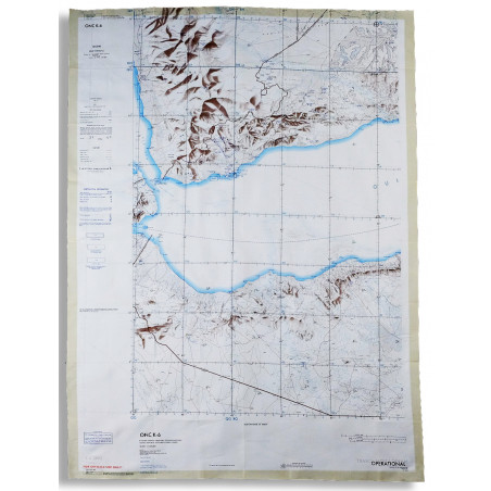
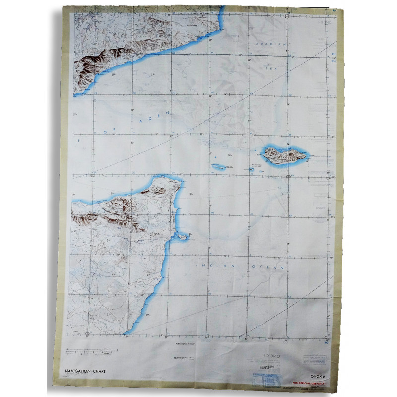
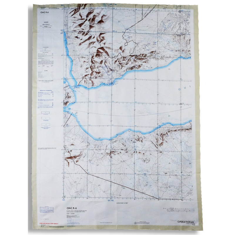
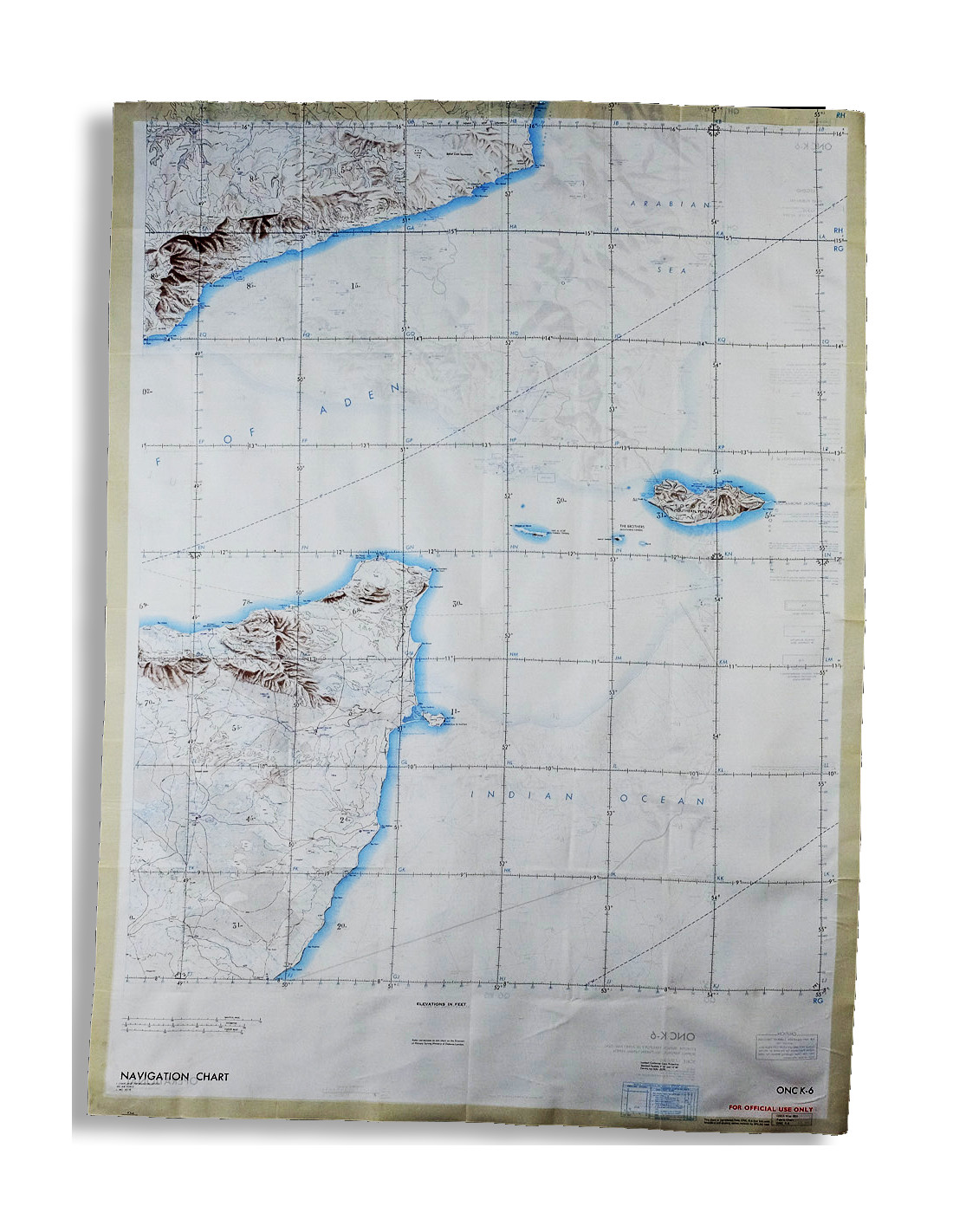
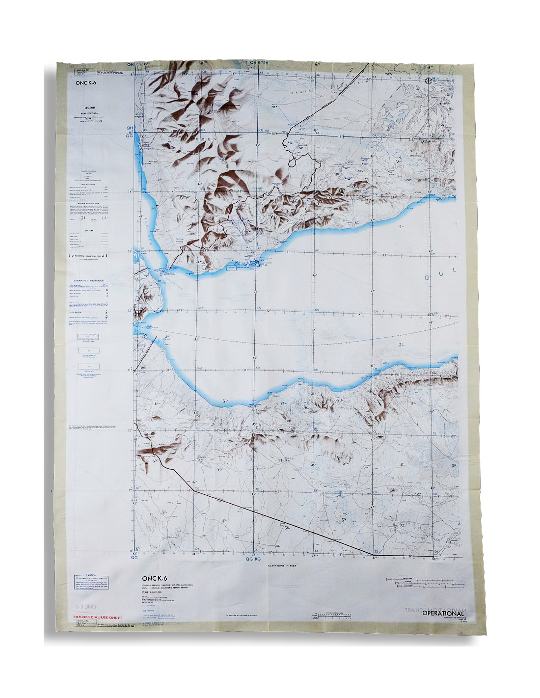
SILK SCARF French Territory of the Afars and Issas (Djibouti), Ethiopia ONC-K6
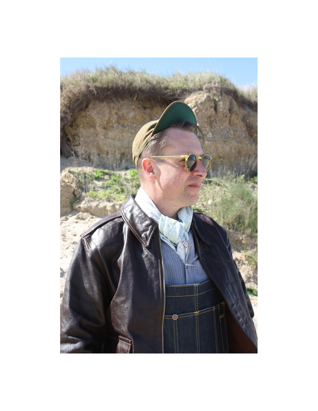
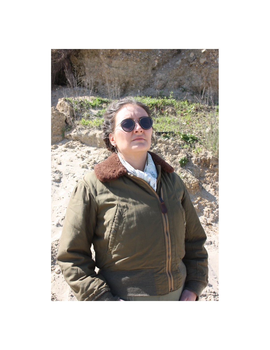
Silk-rayon scarf used by NATO fighter pilots.
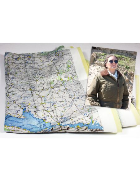
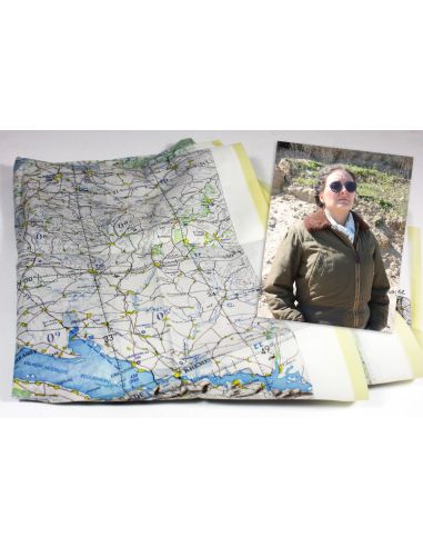
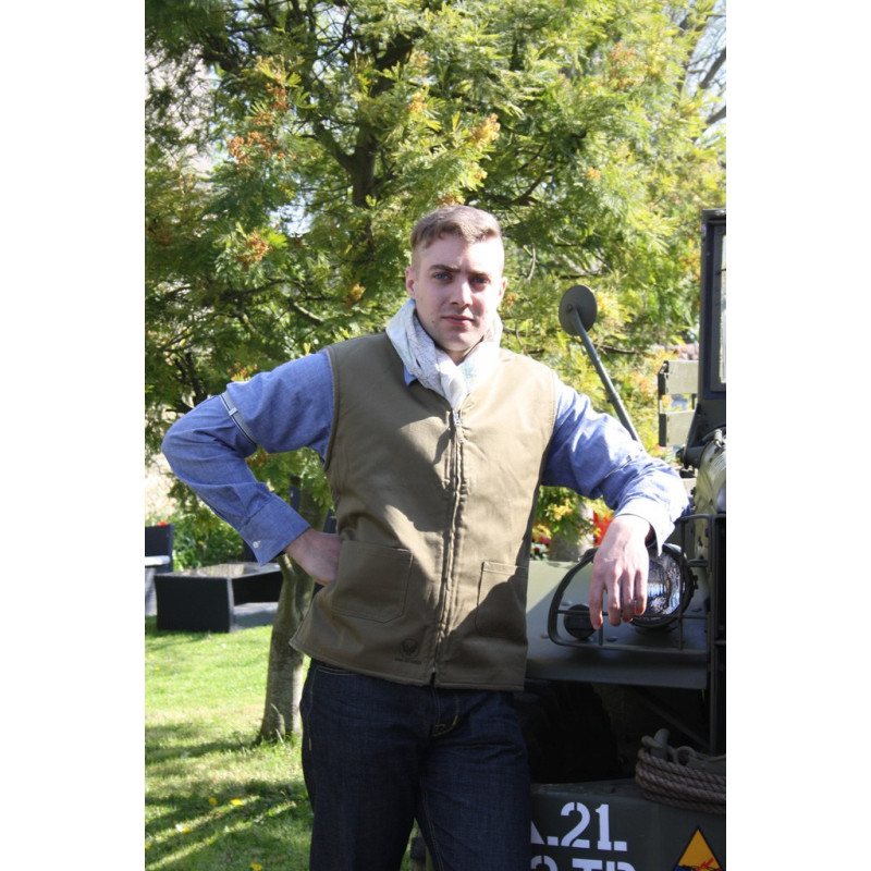
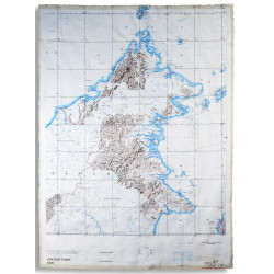
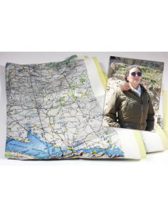
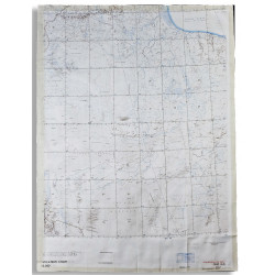
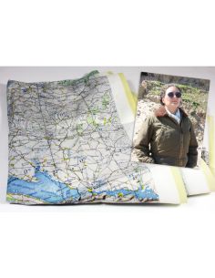
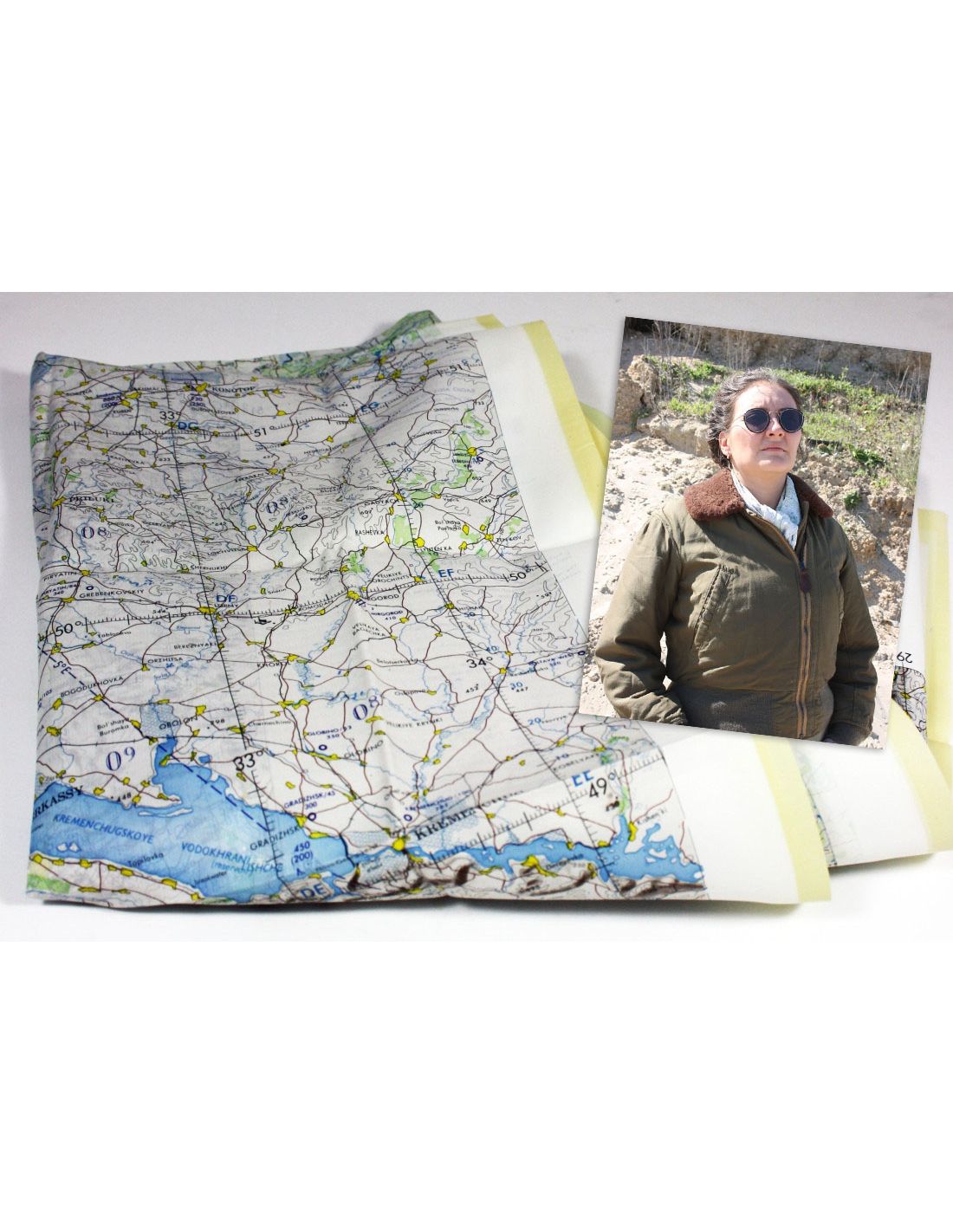
These scarves, printed during the 1950s or 1960s, come from a NATO stock. The maps printed on the scarves were used by pilots to navigate, particularly in the event of a crash.
They were used during the Cold War and the Vietnam War. They are new old stock.
- 100% Silk
- 100 x 76 cm
- Original NOS (New Old Stock)
These scarves are not modern reproductions but genuine originals made over 50 years ago. They are new.
Secure Payment
Delivery
(+33) 01.79.75.05.50
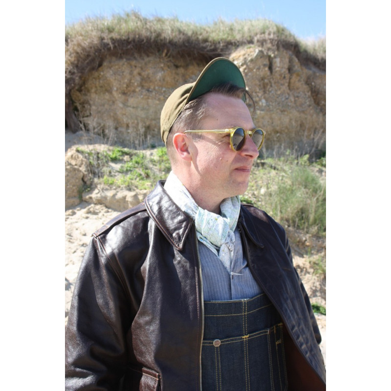
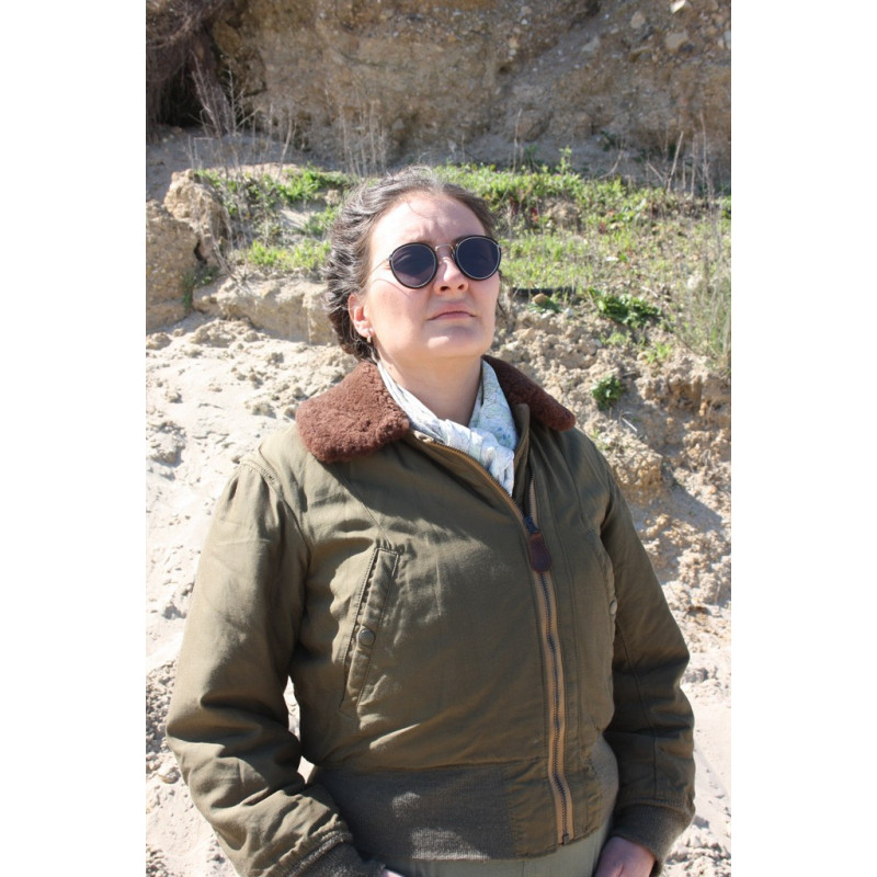
Escape maps for pilots were created during the Second World War. Printed on silk, they were often sewn into the inner lining of jackets, worn as scarves, or concealed on the pilot. These maps were used as late as the Gulf War.
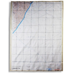
Maps are at a scale of 1:1,000,000
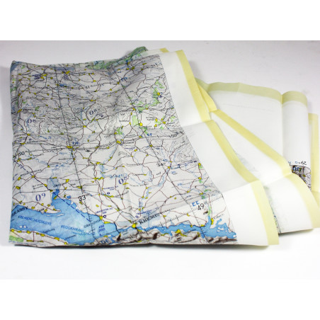
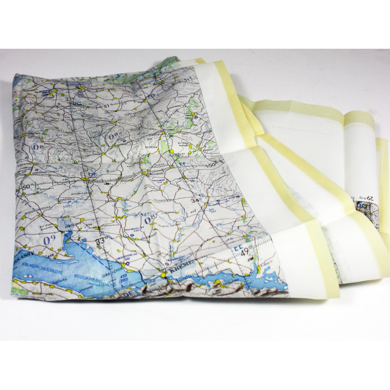
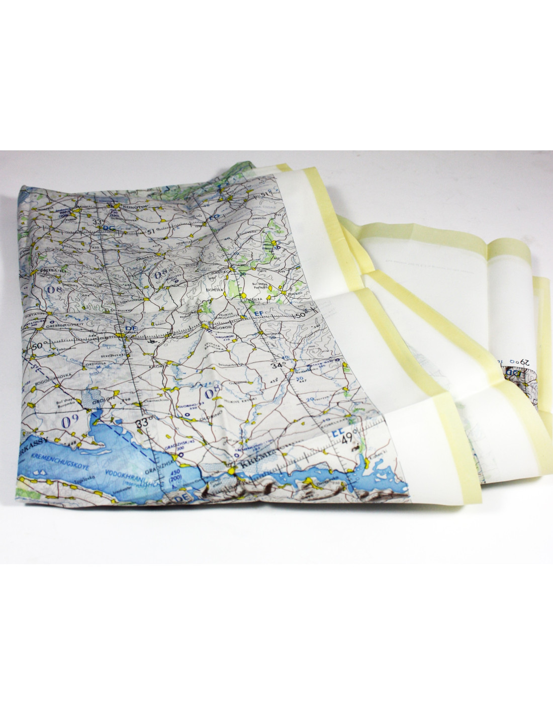
The edges of the scarf have been hemmed to prevent fraying. This scarf is currently coated with its protective finish. We recommend gently hand-washing it in warm soapy water, then rinsing it in clean water. Once dry, the silk texture of the scarf will be restored.
The scarf measures approximately 1 metre x 76 cm. It is printed on both sides with 2 different maps.
Countries covered: French Territory of the Afars and the Issas (TFAI) (Djibouti), Ethiopia, Republic of Somalia
Printed in 1968
You might also like